
About Us
We provide land boundary survey, topographic survey, drone survey and building survey services.
Using advanced GPS and total station equipment, we deliver highly accurate survey results.
Accurate land measurement, boundary verification, topographic mapping and drone surveying solutions.
Get Free Quote Our Services
We provide land boundary survey, topographic survey, drone survey and building survey services.
Using advanced GPS and total station equipment, we deliver highly accurate survey results.
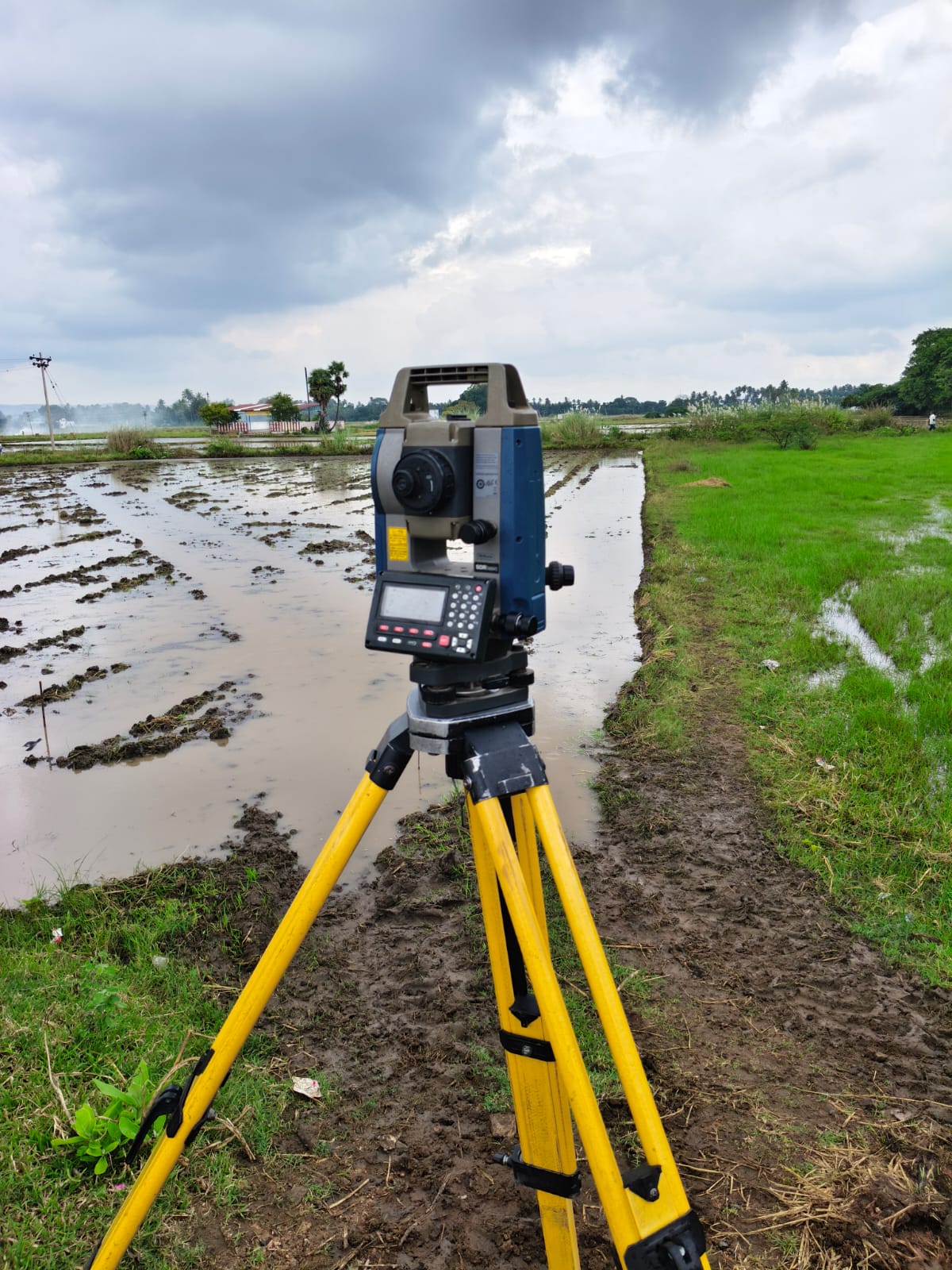
Property measurement and legal boundary identification.
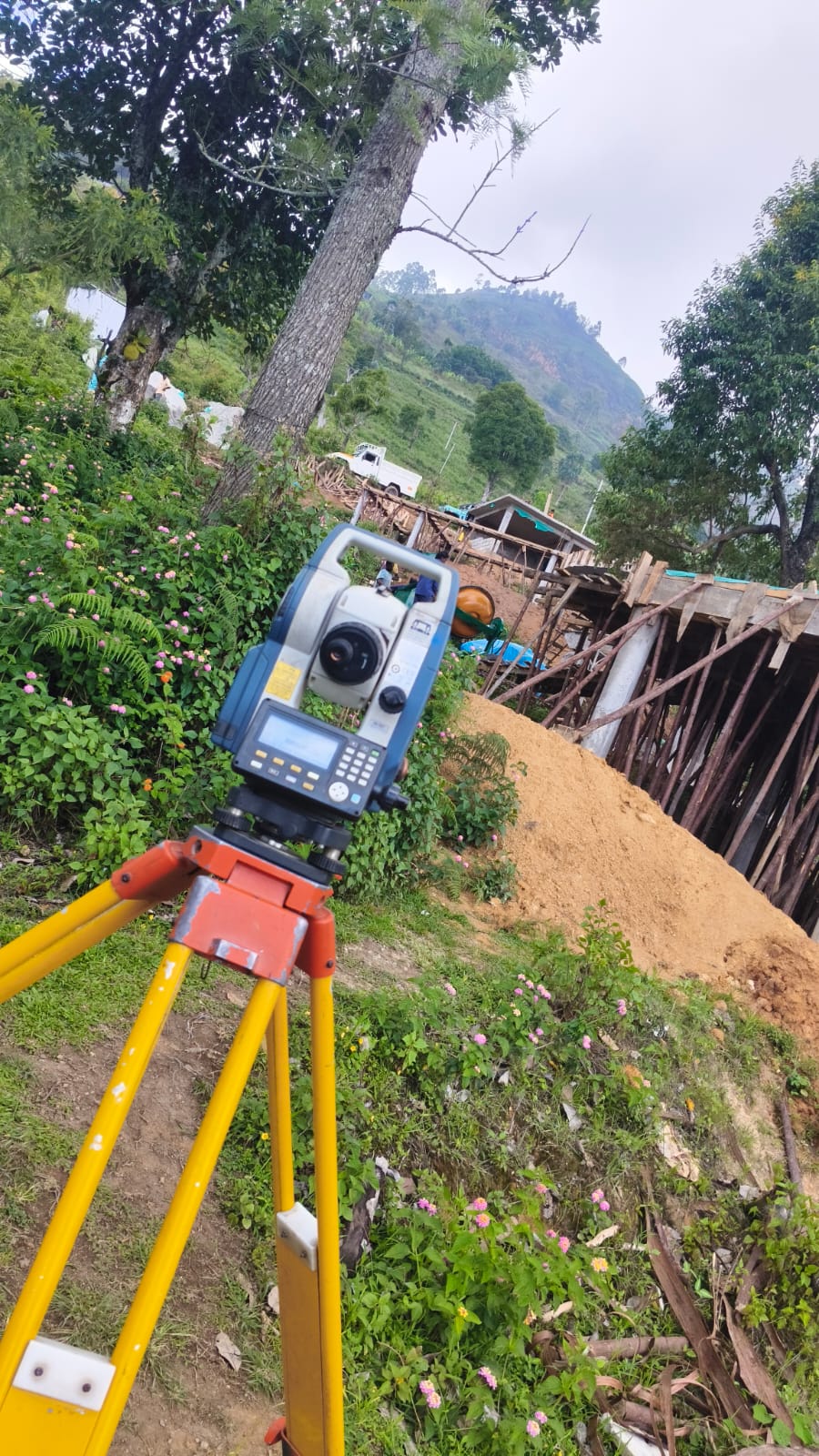
Terrain mapping and elevation measurement.
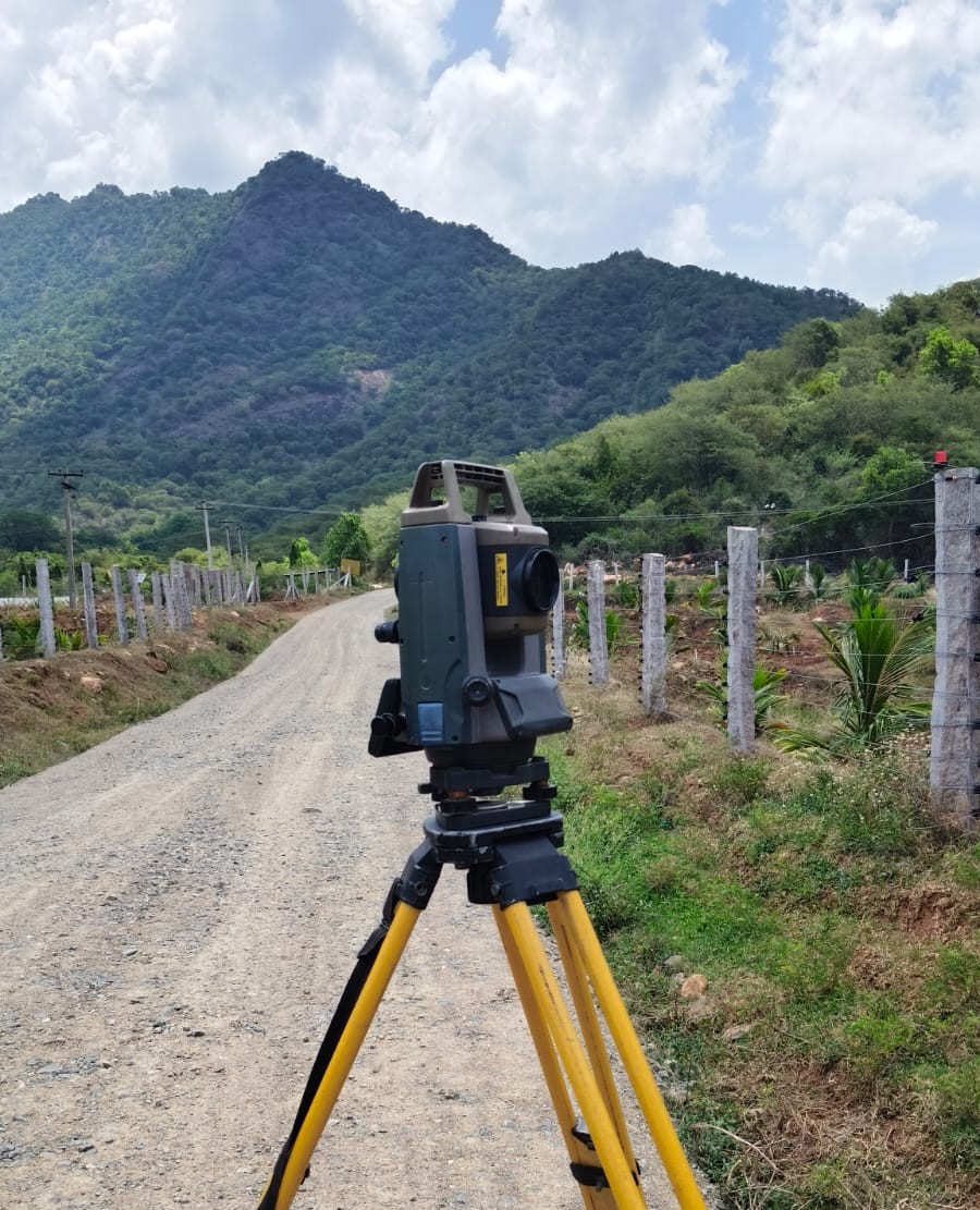
Road, Railway, Pipeline, Cable route planning Alignment fixing.
Projects
Years Experience
Clients
Support